A strange seismic signal detected last September did not resemble a typical earthquake but rather a slow tremor that reverberated for an additional three days. This anomaly prompted scientists to investigate its source.
Initially, some scientists thought it was an “unidentified seismic object” because it did not appear to be an earthquake, according to Dr.Stephen Hicks from UCL, a member of the team involved, as reported by the BBC.
Hicks noted that the signal continued every 90 seconds for nine days, sparking curiosity among the scientists and leading them to explore the true cause.
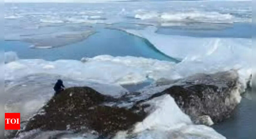
The team used seismic data to trace the signal’s origin to Dickson Fjord in East Greenland. They gathered additional clues, including satellite imagery and photographs of the fjord taken by the Danish Navy just before the signal appeared.
A satellite image revealed a cloud of dust in a gully within the fjord. Comparing photographs taken before and after the event showed that a mountain had collapsed, sending part of a glacier into the water.
After extensive analysis, the scientists determined that 25 million cubic meters of rock had crashed into the water, triggering a massive landslide in the Greenland fjord. This landslide caused a 200-meter-high “mega-tsunami” that “shook the Earth” for nine days.
The wave was “trapped” in the narrow fjord, moving back and forth for nine days and generating the vibrations.
Typically, tsunamis, which are usually caused by underwater earthquakes, dissipate within hours in the open ocean. However, this wave remained trapped, according to the BBC.
“This landslide happened about 200 kilometers inland from the open ocean,” Dr. Hicks explained. “These fjord systems are complex, so the wave couldn’t dissipate its energy.”
Scientists attribute the landslide to rising temperatures in Greenland, which have melted the glacier at the base of the mountain.
The study concluded, “Climate change drives feedback among the cryosphere, hydrosphere, and mass wasting events, and signals such as the one the authors observed may provide a new way of understanding these interactions.”
Source : Times of India


